ON-DEMAND WEBINAR

Technical Advancements in Surveying: Precision and Productivity

Aerial surveying with accuracy and efficiency

Business Card
Available Now
Test

Webinar Registration

What this webinar is about:

Join this webinar to explore the latest technical advancements in aerial surveying with Pix4D, Phase One, and Quantum Systems.

In this exclusive webinar, we’ll showcase 2 real-world scenarios that demonstrate how survey-grade accuracy can be achieved alongside streamlined, efficient workflows.

Discover how the Quantum Systems Trinity Pro VTOL drone, equipped with a Phase One high-resolution P5 camera and processed using PIX4Dmatic photogrammetry software, delivers exceptional results.

Here’s what you’ll learn:

■ See how Quantum Systems’ Trinity Pro drone integrates the Phase One P5 camera for exceptional data capture
■ Discover streamlined data processing with Pix4Dmatic photogrammetry software
■ Learn how this powerful combination simplifies data collection and processing while ensuring precision and productivity for your projects
■ Watch practical examples of workflows in action - from data collection to final results

Meet The Speakers

Andrew Fry

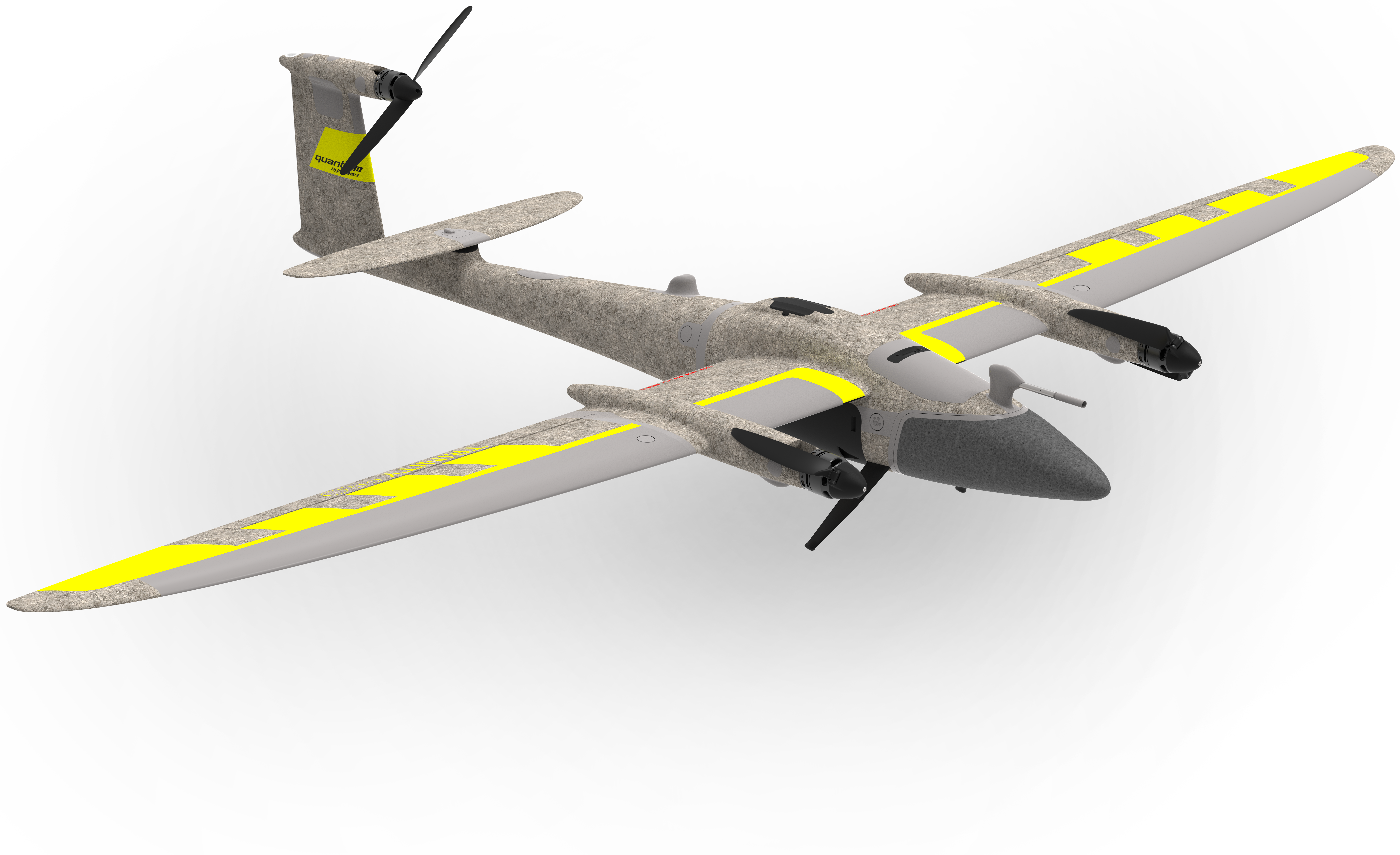
Regional Sales Manager | Quantum Systems

Rhéa Garrat

Manager of Geospatial Desktop | Pix4D

Mohsen Miri

Director of Strategic Partnership | Phase One