
Meet The Speakers

Nick Onelio
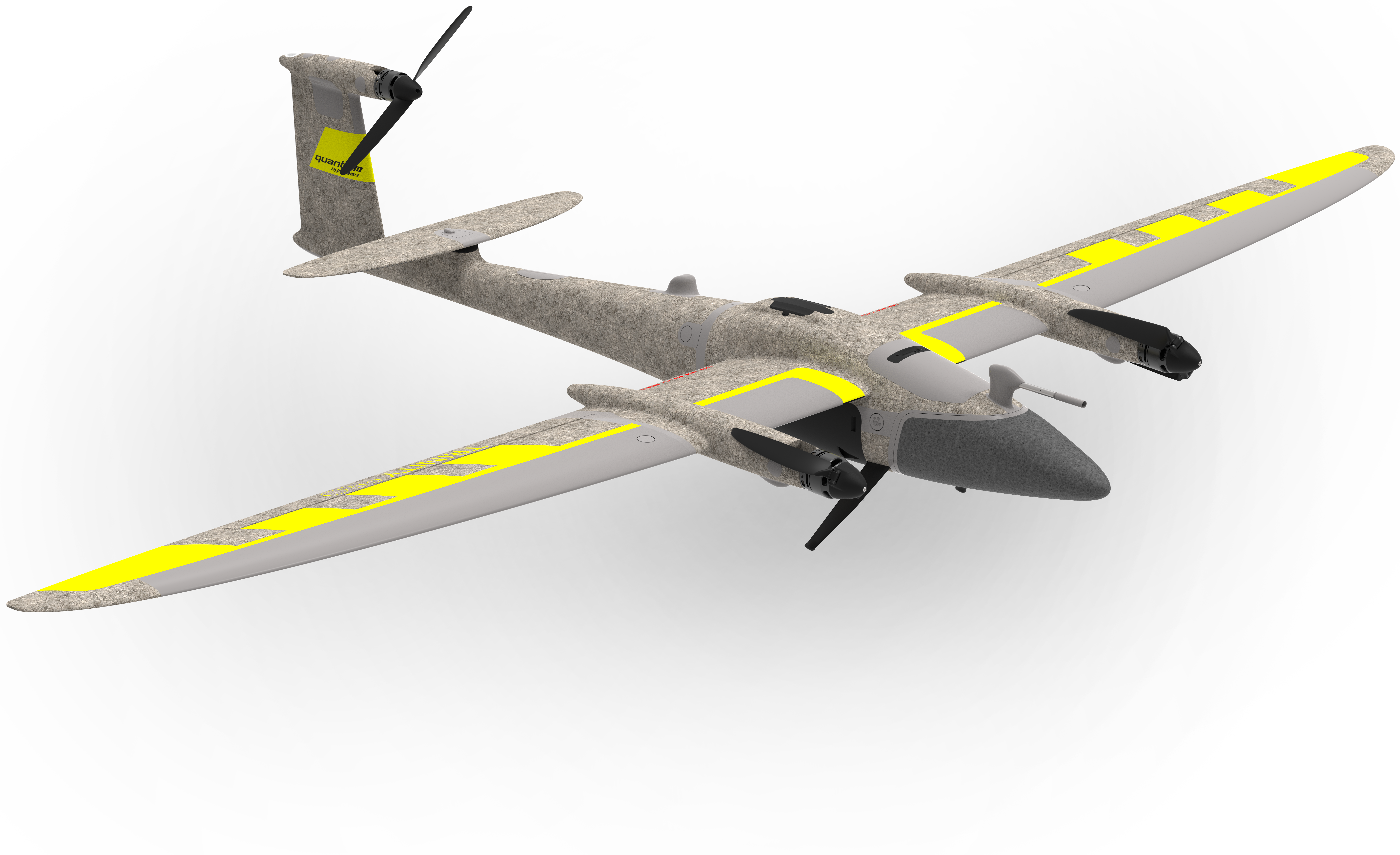
Regional Sales Manager | Quantum Systems

Austin Rains
Unmanned Regional Sales Manager South | Frontier Precision

Sergio Roman
Director of Emerging Aviation Technology | TxDOT

James Dalton
Photogrammetry Specialist | TxDOT