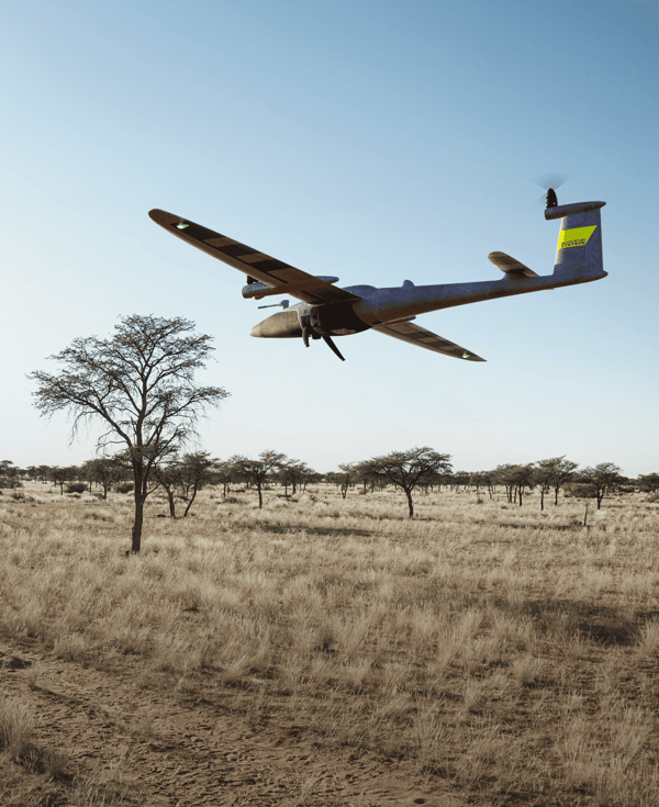
Designed to evolve
Benefits of Drone Technology
The accuracy and versatility of drone data amplify decision-making across sectors, making your operations more efficient, cost-effective, and informed, yielding substantial returns at every stage.
![]() Enhanced Data Capture
Enhanced Data Capture
Collect aerial data with unmatched precision and detail.Whether it's for inspections or mapping drones makes your operations efficient and cost-effective.
![]() Faster Business Decisions
Faster Business Decisions
The rich data gathered by our drone enables you to make faster decisions. With real-time insights, you can respond and seize opportunities without delay.
![]() Seamsless Integration
Seamsless Integration
Trinity Pro seamlessly integrates into your workflows and its user-friendly interface allows you to focus on data analysis rather than complex drone operations.
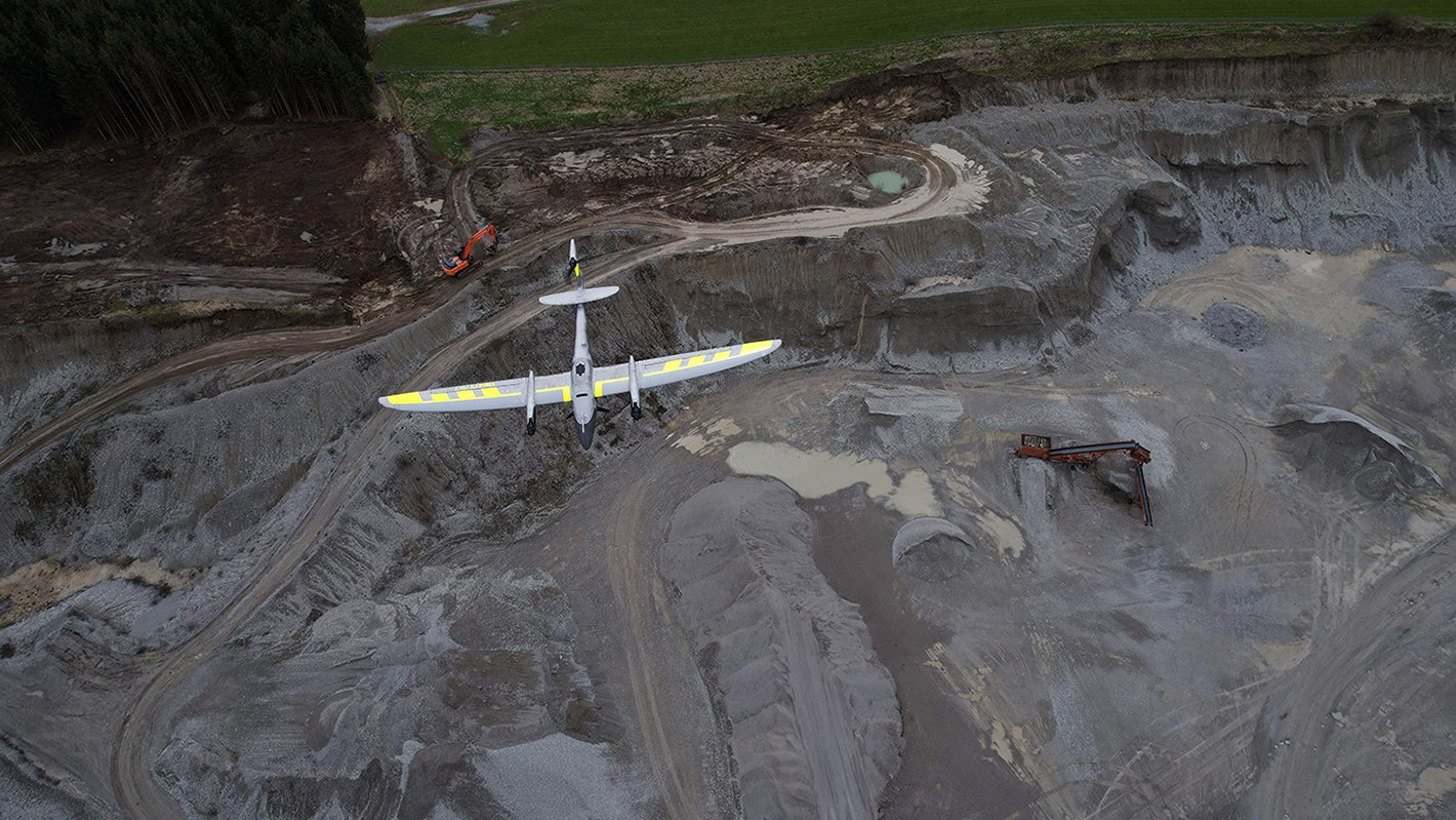
Mining
In mining, drones redefine surveying, providing safety and efficiency while generating lifelike 3D models and digital replicas, ultimately optimizing resource allocation.
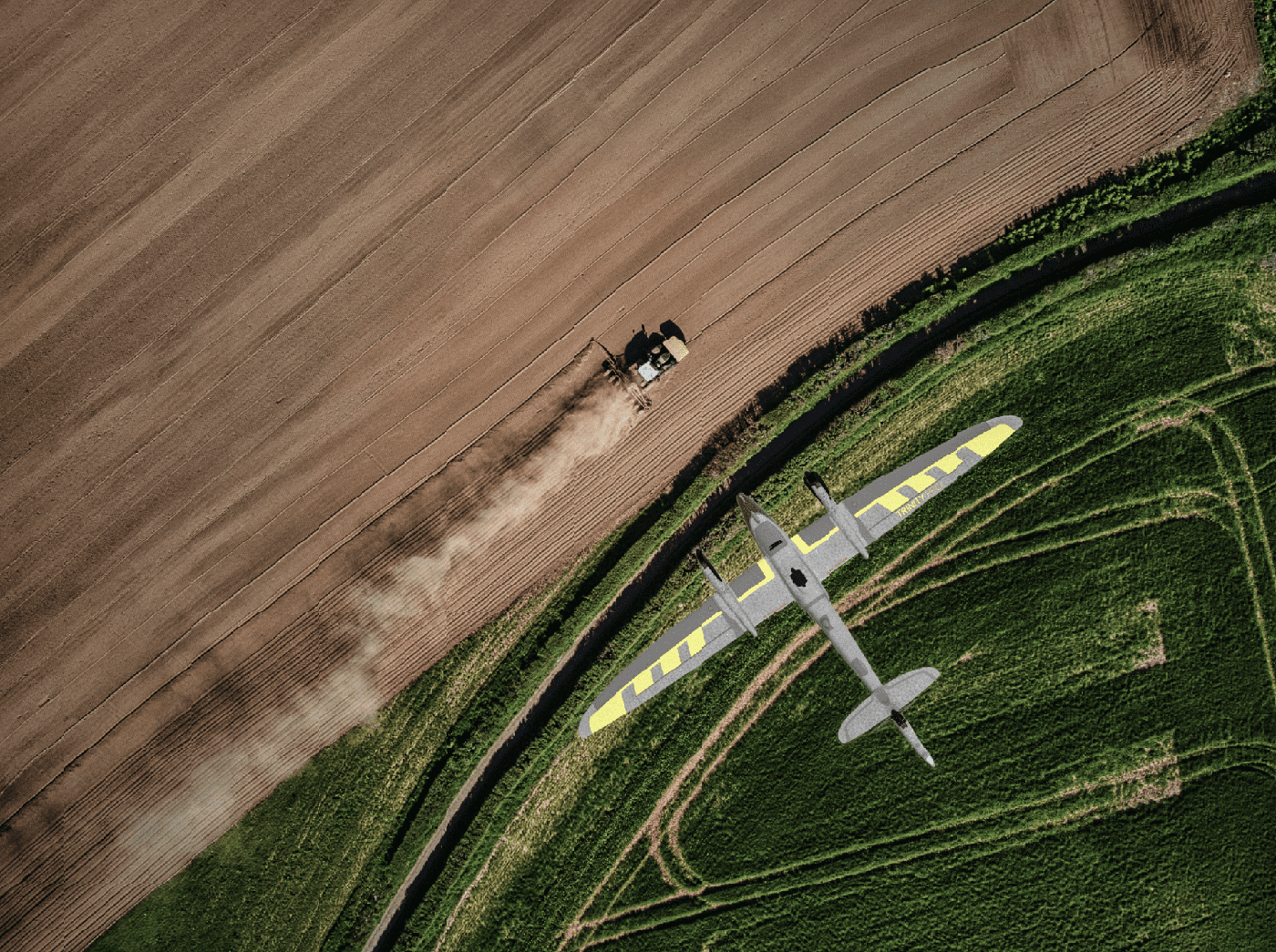
Agriculture
In agriculture, drone data technology equips agronomists, agricultural engineers, researchers, and farmers with unparalleled insights into crops, enabling precise seasonal management and maximizing yield.
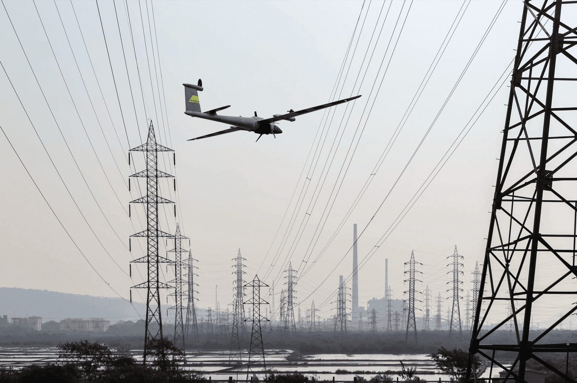
Utility & Transportation
For engineering and utility industries, drones are essential for inspections, digital twin creation, and comprehensive planning, resulting in minimized downtime and enhanced operational efficiency.
%20(1).png?width=1689&height=122&name=QS_RoadShow_23_Agenda_2500x996_230904%20cropped%20(1)%20(1).png)